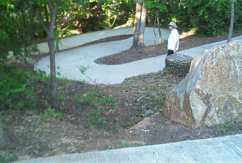

...was the Granby Lock. It's apparently been important to local navigation.
From the Department of Natural Resources:
(I know at least two folks who love this sort of report...)
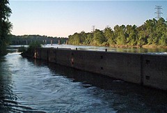
The Granby Dam is situated in a relatively narrow part of the Congaree River, approximately 9,200 feet downstream of the Gervais Street bridge and 4,000 feet upstream of the Barney Jordan boat landing located near the end of Rosewood Drive in Richland County. The steel-and concrete dam, which has a roughly southwest-northeast orientation, is about 3½ feet high and extends for 375 feet from the eastern (Richland County) bank of the river to the upstream end of the concrete “island” that defines the lock passage. The lock, bounded on its sides by two large concrete structures, has a uniform width of 55 feet and is located along the western (Lexington County) bank of the river. The concrete “island” that separates the lock from the dam is about 20 feet high, 15 feet wide, and 235 feet long. At the upstream end of this island is a wedge-shaped structure of timber and riprap that extends 110 feet upstream from the concrete island. It is at the tip of this extension that the river flow splits into two sections—the lock channel and the dam area—giving the lock channel an effective length of 345 feet.
Wedge-shaped structure of timber and riprap....
and
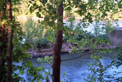
Without the dam, the water-surface elevation of the river upstream of the dam/lock area would return to “natural” levels. This means that, during very low flows, water depths would be lower by as much as 2 feet near the dam and lock and as much as 1 foot near the railroad bridges located 2,000 feet upstream of the dam. In this upstream section of the river, there are many boulders and rock outcrops already exposed during low flows; decreasing the water level by 1 foot would result in more rocks being exposed or coming very close to the water surface. Navigation throughInteresting what you discover when you go for a stroll.
this section of the river may become more difficult or hazardous when the river is at a very low stage.
More at the Flicker site.


No comments:
Post a Comment